Genuine Antique Hand-colored Map
c. 1730
Maker: Seutter
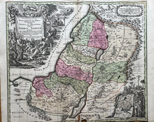
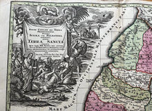
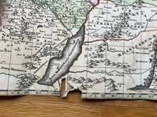
This antique map of Judea/Israel and Canaan includes the 12 tribes and an inset of Egypt to Canaan with the Red Sea. Published c. 1730. In overall fair to good antique condition, excellent color, with missing paper in upper and lower center fold, measures about 19 1/2"h x 22 1/2"w to the neat line. Price reflects condition.
Item Number: CSMT083


