Pickup available at 1409 MAIN ST, CHATHAM MA
Usually ready in 24 hours
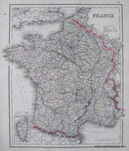
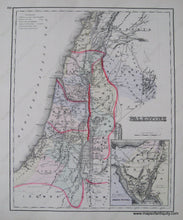
1884 - France, verso: Palestine - Antique Map
-
1409 MAIN ST, CHATHAM MA
Pickup available, usually ready in 24 hours1409 Main Street
Chatham MA 02633
United States+15089451660
1884
Maker: Gray.
Antique hand colored map from "The National Atlas" of 1884. Shows France with political boundaries of the time, cities, land forms, bodies of water, rivers, and islands. Reverse side has a map of Palestine. Very good overall antique condition with some small stains outside border and one very small tear at bottom edge. Approx. 15 x 13.5 inches.
Item Number: EUR1158


