Genuine Antique Map
1875
Maker: Beers.
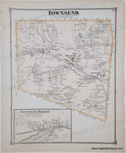
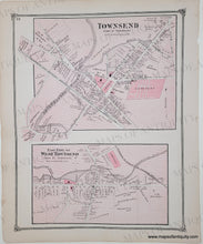
Antique double-sided page of maps of Townsend, MA from the Middlesex County Atlas, Beers & Co., 1875. One side has the whole town of Townsend and the back side has Townsend village center & East Part of West Townsend. Measures approx. 14 x 11 inches. Very good overall antique condition with minor signs of age including small tears in the margins.
Genuine Antique Map from 1875
Item Number: MAS596


