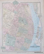
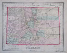
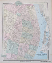
Genuine Antique Hand Colored Map
1881
Maker: Gray.
Â
Hand Colored Antique map from "The National Atlas" of 1881. City map shows roads, parks, important buildings, railroads, canals, and rivers. Very Good Antique condition, small tears at one edge, toning on edges. Approx. 12 x 15 inches to the neatline.
Â
Item Number: MWE202


