Genuine Antique Printed Color Map
1888
Maker: People's Publishing Company.
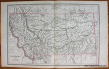
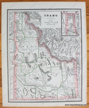
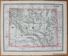
Antique printed color double-sheet map of Montana with a map of Wyoming printed on the back of one side and a map of Idaho on the back of the other side. Published in The People's Illustrated and Descriptive Family Atlas of the World, 1888. These maps have early county lines. Includes towns, cities, counties, railroads, rivers, and some topography. Very good condition with some toning at the paper edges. Montana map measures approx. 19 x 12.5 inches to the neatline. Verso maps both measure approx. 9.5 x 12 inches to the neatline.
Genuine Antique Map from 1888.
Item Number: WES385


