1908
Maker: George W. Eldridge.
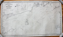
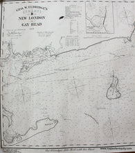
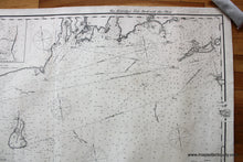
Antique nautical chart by George W. Eldridge showing the coast line from the tip of Long Island to the tip of Martha's Vineyard, from 1908. This chart includes Montauk, Fishers Island, Block Island, New London, Newport, the entrance to Narragansett Bay, Nashawena Island, and has an inset map of Block Island Harbor. Shows water depths and navigational information. This was a working nautical chart that has been archivally restored- cleaned and rebacked with linen and the short edge tears closed. Approx. 27 x 48 inches to the neatline.
Item Number: NAU280


