1820
Maker: Gauttier.
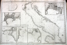
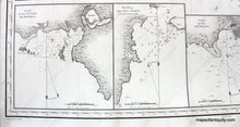
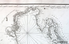
Antique black and white French nautical chart, titled Carte Reduite du Golfe de Venice, by Capt. Gauttier, published in 1820, showing the Gulf of Venice, the east coast of Italy and west coast of eastern Europe, with triangulation, soundings, light houses, and stunningly detailed insets of the ports of Ancona, Brindisi, anchorages near the islands of Tremeti, Otranto, and Trieste, Italy. Chart has been restored and rebacked with sturdy vellum, very good condition with beautiful sharp impression, measures approx. 25 x 38 inches. **NOTE- because this map requires extra insurance for shipping, an additional charge will appear on your card after your original purchase. If you would like to know what that charge will be, please contact us.** **SPECIAL DISOUNT- was $3500, now $2200!**net
Item Number: EUR1322


