Item number: USA457
Genuine Antique Map
1866
Maker: General Land Office
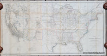
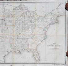
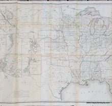
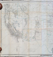
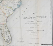
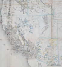
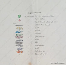
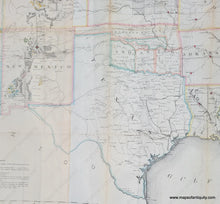
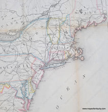
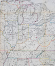
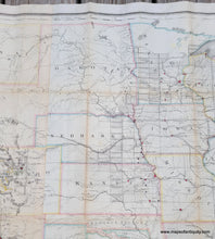
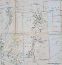
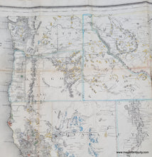
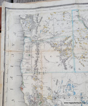
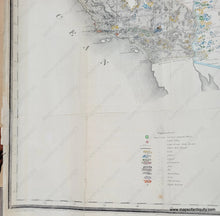
Antique map of the United States as it was in 1866, showing the extent of the surveys of public land. The map was created by Theodore Franks and published by the General Land Office, part of the Department of the Interior, under the commission of Hon. Jos. S. Wilson. The US government began surveying public lands as early as 1785 and these surveys focused on lands west of the Ohio River that had been purchased from the Native Americans. The townships created through the surveys were to be six miles square (reduced from seven) with north and south lines crossed at right angles, as near as possible. It must have been recognized that surveying was not an exact science. Indian boundaries were also recognized as a limiting factor. The areas surveyed changed as the United States grew through the acquisition of Florida from the Spanish, the Louisiana Purchase, the Mexican-American War, and the Gadsden Purchase, and this map shows the extent of the surveys as of 1866. With the California gold rush, there was an effort to survey the newly created state as quickly as possible. Similar maps were published in 1867 and 1868, and yet all of these maps remain rare. In addition to the surveys, the map also shows Land Offices, forts, railroads, proposed railroads, wagon trails, cities, mineral deposits, oil springs, and light houses. Other interesting things to note include the odd shapes of various parts of the East Coast, including Long Island, Cape Cod, Martha's Vineyard, and Nantucket; the Virginia Military Land and Ohio Company's Purchase (both in Ohio), Indian Territory (Oklahoma), Dakota Territory that include Wyoming, and much more. This map is made of two joined sheets that had been folded to accompany the report booklet. The two sheets were joined and backed with a light-weight backing. The two sheets do not match up perfectly. The original folds are still visible. Overall good condition, with some mild stains and small spots, some wear along the folds, and some small tears at the paper edges. Tight margin on left side. Measures approx. 28.25 x 55 inches to the neatline. Note that shipping is more expensive for this map due to added insurance. If you would like a customized shipping quote, please contact us.
Item Number: USA457


