Winter hours: Tuesday - Saturday 10am to 5pm. Close Sundays and Mondays until May. We appreciate your business!

MAS2309-Antique-Nantucket-Travel-Guide-Booklet-map-photographs-New-York-New-Haven-Hartford-Railroad-co-Rand-McNally-Co-1930s
1930 - Nantucket Travel Booklet - Antique Travel Booklet with Map
  • Load image into Gallery viewer, MAS2309-Antique-Nantucket-Travel-Guide-Booklet-map-photographs-New-York-New-Haven-Hartford-Railroad-co-Rand-McNally-Co-1930s
  • Load image into Gallery viewer, MAS2309-Antique-Nantucket-Travel-Guide-Booklet-map-photographs-New-York-New-Haven-Hartford-Railroad-co-Rand-McNally-Co-1930s
  • Load image into Gallery viewer, MAS2309-Antique-Nantucket-Travel-Guide-Booklet-map-photographs-New-York-New-Haven-Hartford-Railroad-co-Rand-McNally-Co-1930s
  • Load image into Gallery viewer, 1930 - Nantucket Travel Booklet - Antique Travel Booklet with Map
  • Load image into Gallery viewer, 1930 - Nantucket Travel Booklet - Antique Travel Booklet with Map
  • Load image into Gallery viewer, 1930 - Nantucket Travel Booklet - Antique Travel Booklet with Map
  • Load image into Gallery viewer, 1930 - Nantucket Travel Booklet - Antique Travel Booklet with Map

1930 - Nantucket Travel Booklet - Antique Travel Booklet with Map

Regular price
$65.00
Sale price
$65.00
Regular price
Sold out
Unit price
per 
Shipping calculated at checkout.

Item number: MAS2309
Genuine Antique Book with Map

c. 1930

Maker: New York, New Haven, & Hartford R.R. Co. / Rand McNally & Co


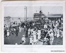
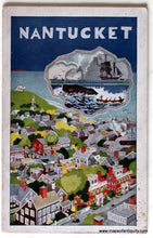
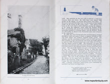
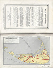
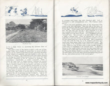
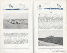
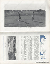
Antique travel booklet of Nantucket, published by the New York, New Haven, & Hartford R.R. Co. with a map by Rand McNally & Co. The map seems to be dated 1925 but some numbers near the printing company suggest it could have been printed as late as 1931. The map shows Nantucket Island, with roads (red are probably paved roads), Golf Courses, lighthouses, and steamship lines. The railroad on Nantucket ceased service in 1917, so it is not on this map. Very good antique condition with some tiny spots. The tourism booklet is full of wonderful information and photos. The artwork on the cover and small drawings throughout the book are by John Held Jr. Booklet measures approx. 8.25 x 5.25.


Item Number: MAS2309