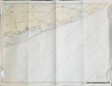
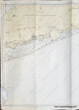
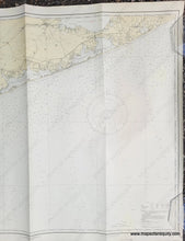
1919/1929
Maker: US Coast and Geodetic Survey
Antique nautical chart showing the southern coast of Long Island from Shinnecock Light to Fire Island Light, published in 1919 and corrected to 1929. Includes St. James, Great South Bay, Patchogue, Moriches Bay, West Hampton, South Hampton, Great Peconic Bay, and Riverhead. Shows roads, railroads, water depths, some topography. Very good antique condition with three vertical folds and some mild wear at the paper edges. Measures approx. 31 x 42 inches to the neatline.
Item Number: NAU413


