Antique-Black-and-White-Nautical-Chart-Western-Route-to-China-No.-3-East-India-Archipelago-1886-Imray-&-Son-US-Mid-Atlantic-Charts-1800s-19th-century-Maps-of-Antiquity
1886 - Western Route to China, No. 3, East India Archipelago - Antique Chart
  • Load image into Gallery viewer, Antique-Black-and-White-Nautical-Chart-Western-Route-to-China-No.-3-East-India-Archipelago-1886-Imray-&-Son-US-Mid-Atlantic-Charts-1800s-19th-century-Maps-of-Antiquity
  • Load image into Gallery viewer, 1886 - Western Route to China, No. 3, East India Archipelago - Antique Chart
  • Load image into Gallery viewer, 1886 - Western Route to China, No. 3, East India Archipelago - Antique Chart

1886 - Western Route to China, No. 3, East India Archipelago - Antique Chart

Regular price
$450.00
Sale price
$450.00
Regular price
Sold out
Unit price
per 
Shipping calculated at checkout.

Item number: NAU366
Genuine Antique Nautical Chart

1886

Maker: Imray & Son.

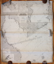
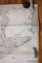
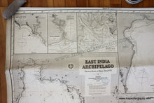
Antique uncolored nautical chart from the Western Route to China series, published in 1886. Shows the area of the Gulf of Thailand, including parts of Thailand, Cambodia, Vietnam, and Malaysia. With 6 inset maps: Bangkok & Saigon, East Coast Maylay, and more. This chart is comprised of 2 joined charts. It is in good overall antique condition with mild toning throughout, with horizontal folds and a 2 inch tear at center right. Very tightly rolled & will need to be flattened. Blue back chart. Measures approximately 53.5 x 38.75 inches (H x W) overall. **NOTE- because this map requires extra insurance for shipping, an additional charge will appear on your card after your original purchase. If you would like to know what that charge will be, please contact us.**

Item Number: NAU366