1857
Maker: U.S. Coast and Geodetic Survey.
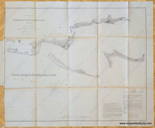
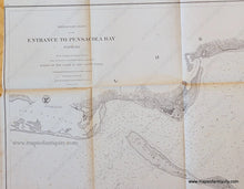
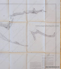
Antique coast survey chart showing the Entrance to Pensacola Bay Florida with sailing information. Details include water depths, types of sediment at ocean floor, and relevant coastal information. Includes Pensacola and Warrington (Panama City). Pensacola Beach (labeled Santa Rosa Island) and Gulf Breeze (labeled United States Live Oak Plantation) are only partially surveyed. Could be hand colored for an additional cost- contact us if you are interested in having this colored by our professional colorist. Good to very good antique condition with folds as issued and some toning and wear along the folds. Some small separation at fold intersections and tight margin on left side. Could be restored, flattened and backed for an additional $145. Measures approx. 25 x 31.5 inches to the neatline.
Item Number: SOU473A


