Pickup available at 1409 MAIN ST, CHATHAM MA
Usually ready in 24 hours
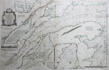
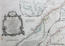
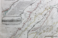
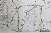
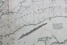
1775 - An Exact Chart of the River St. Lawrence from Fort Frontenac to the Island of Anticosti shewing the Soundings, Rocks, Shoals, &c. with Views of the Lands and all necessary Instructions for navigating that River to Quebec - Antique Map
-
1409 MAIN ST, CHATHAM MA
Pickup available, usually ready in 24 hours1409 Main Street
Chatham MA 02633
United States+15089451660
Item number: CAN024JR
Genuine Antique Hand Colored Map
1775
Maker: Jeffreys.
Hand colored engraved antique nautical chart by Thomas Jeffreys, of the St. Lawrence River, with triangulation, etc., and insets of the Seven Islands and The Road of Tadousac. Beautifully detailed, with navigational information. Very good overall antique condition, restored, probably rebacked, 37.5 x 23.5 inches. **NOTE- because this map requires extra insurance for shipping, an additional charge will appear on your card after your original purchase. If you would like to know what that charge will be, please contact us.**
*Special Sale! Now 20% off!
Item Number: CAN024JR


