Winter hours: Tuesday - Saturday 10am to 5pm. Close Sundays and Mondays until May. We appreciate your business!

Antique-Chart-Bass-River-Harbor-Massachusetts-Yarmouth-Dennis-Cape-Cod-USCS-US-Coast-Survey-1800s-19th-century
  • Load image into Gallery viewer, Antique-Chart-Bass-River-Harbor-Massachusetts-Yarmouth-Dennis-Cape-Cod-USCS-US-Coast-Survey-1800s-19th-century
  • Load image into Gallery viewer, Antique-Chart-Bass-River-Harbor-Massachusetts-Yarmouth-Dennis-Cape-Cod-USCS-US-Coast-Survey-1800s-19th-century

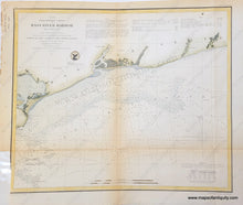
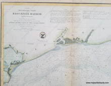
1854 - Bass River Harbor - Antique Chart

Regular price
$140.00
Sale price
$140.00
Regular price
Sold out
Unit price
per 
Shipping calculated at checkout.

Item number: MAS036HC
Hand Colored Genuine Antique Nautical Chart

1854

Maker: U. S. Coast and Geodetic Survey.


Hand colored antique chart titled "Preliminary Chart of Bass River Harbor", showing Bass River on the borders of Dennis and Yarmouth, Massachusetts, MA. With tide, current, and navigational information. Good antique condition with  toning along folds, and narrow margin on left side of map, measures approx.13.5"h x 16"w.  


Item Number: MAS036HC