Current hours: 10am to 5pm Monday through Saturday. 12pm to 5pm Sundays. IMPORTANT PLEASE NOTE: We have become aware that some of our photos have been stolen by other websites. Our maps are only available at our website www.mapsofantiquity.com or at our store!

Antique-nautical-chart-restrike-St-Marys-Entrance-Florida-Amelia-Island-Fernandina-Jacksonville-USC&GS-20th-Century-Maps-of-Antiquity
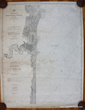
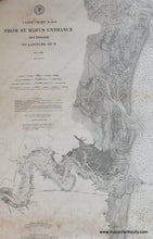
20th century - Coast Chart No. 158 From St. Mary's Entrance to Latitude 30N (Florida) - Vintage Chart
  • Load image into Gallery viewer, Antique-nautical-chart-restrike-St-Marys-Entrance-Florida-Amelia-Island-Fernandina-Jacksonville-USC&GS-20th-Century-Maps-of-Antiquity
  • Load image into Gallery viewer, 20th century - Coast Chart No. 158 From St. Mary's Entrance to Latitude 30N (Florida) - Vintage Chart

20th century - Coast Chart No. 158 From St. Mary's Entrance to Latitude 30N (Florida) - Vintage Chart

Regular price
$175.00
Sale price
$175.00
Regular price
Sold out
Unit price
per 
Shipping calculated at checkout.

Item number: NAU324
Genuine Antique Nautical Chart Restrike

20th century

Maker: USC&GS.


Antique uncoloured nautical chart showing St Mary's Entrance, Florida, by US Coast & Geodetic Survey. Includes Amelia Island, Fernandina, Nassau Sound, Jacksonville, and more. The chart says that it was made in 1882 and updated to 1895, however, this chart is a restrike. Restrikes are later prints made using the original printing plates, which means that they are a more authentic "reproduction" than any other type. This restrike was probably made in the early to mid 20th century. Good condition with scattered stains. Approx. 42.25 x 32.25 inches to the neatline.


Item Number: NAU324