1827
Maker: Hooker/Blunt
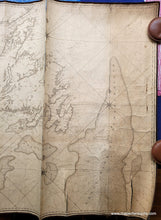
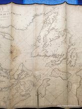
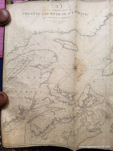
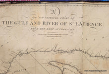
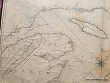
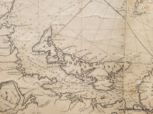
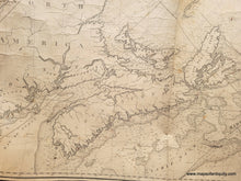
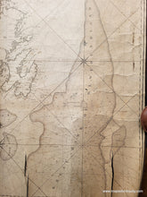
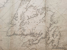
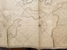
Antique blueback nautical chart of the Gulf of the St Lawrence River, engraved by William Hooker and published by E. M. Blunt in 1827. This rare early chart includes Newfoundland, Nova Scotia, Cape Breton, Prince Edward Island, New Brunswick, the Bay of Fundy, and more. Interestingly, Prince Edward Island is labeled St. John's Island, although its name was changed in 1799 to PEI. This chart includes soundings (water depths), shoals, five compass roses with rhumb lines, a continuation of the St Lawrence River to Quebec, lighthouses, and a few scattered images of hills. Fair to poor antique condition with significant signs of age typical for a working chart that was used at sea. This chart has toning, small stains, and some edge wear including a tear at the upper left. Multiple vertical creases with tearing as well as some small holes on right side. Could be restored for an additional cost and would be significantly improved. Measures approx. 30.25 x 48.5 inches to the neatline. **NOTE- because this map requires extra insurance for shipping, which is why the shipping cost is higher than other items. If you would like it shipped without insurance, please contact us.**
Item Number: CSMT131


