1871
Maker: U.S. Coast & Geodetic Survey.
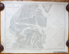
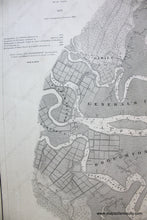
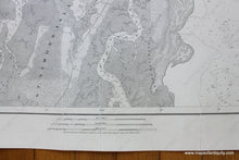
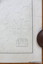
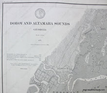
Antique Nautical chart with water and sailing information showing the coastline, lighthouses, tides and buoys of Doboy and Altamaha Sounds. Details include water depths, types of sand at ocean floor, and relevant coastal information, corrected 1884. Includes Darien, GA, the marshes and rivers of St. Simon's Island, Broughton Island, General's Island, Rockedundy Island, Wolf Island and Sapello Island. Condition: Very good, restored: cleaned, deacidified, backed with linen. Some imperfections still visible including some cracks and tears that have been repaired. Approx. 21.5 x 28 inches. **NOTE- because this map requires extra insurance for shipping, an additional charge will appear on your card after your original purchase. If you would like to know what that charge will be, please contact us.**
Item Number: SOU222


