1877
Maker: Eldridge.
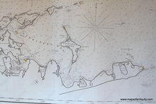
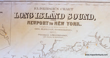
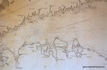
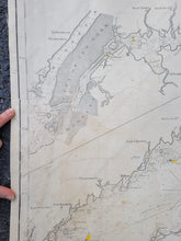
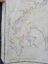
Black and white antique Nautical Chart by George Eldridge, published by Thaxter & Son, Boston. Great detail of eastern Long Island, north shore of Long Island and Connecticut shoreline. Good condition, linen backed, restored, some patched reconstruction where paper loss, around New York City and Block Island. Measures approx. 105 x 26.25 inches. Please forgive the poor lighting conditions in the close-up images. The image of the whole chart is a scan, which is why the lighting is so much better. **NOTE- because this map requires extra insurance for shipping, an additional charge will appear on your card after your original purchase. If you would like to know what that charge will be, please contact us.**
Item Number: NAU133


