1896
Maker: US Coast and Geodetic Survey
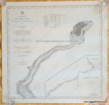
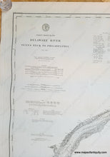
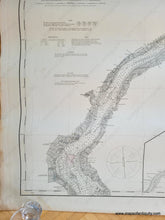
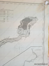
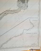
Antique nautical chart of the Delaware River, published by the US Coast and Geodetic Survey in 1896. First published in 1849, this chart was corrected to 1896. Penns Neck referred to on this chart is south of Philadelphia- it was Lower Penns Neck Township in New Jersey, now Pennsville Township. The main chart shows the river from Delaware City and Wilmington to Philadelphia. Inset map in the lower right shows Bridesburg, PA to Trenton, NJ. Features detailed soundings and bathymetric data, as well as information on Light Houses, Tides, and more. Very good antique condition, with wear at the paper edges and other minor signs of age. Measures approx. 29 x 29.5 inches to the neatline.
Item Number: NAU399


