1922/1927
Maker: US Coast and Geodetic Survey
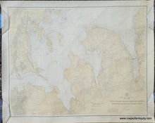
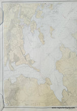
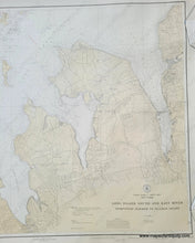
Antique chart part of Long Island Sound, published in 1922, updated to 1927, by the US Coast and Geodetic Survey. Includes Hempstead Bay, Roslyn, Sea Cliff, Port Washington, Sands Point, Manhasset, Greeat Neck, Kings Point, Little Neck Bay, Whitestone, Locust Point, City Island, Glen Island, and two islands that later became Orchard Beach. With water depths, some topography, roads, ferries, and more. Very good antique condition with minor signs of age. Measures approx. 28 x 35 inches to the neatline.
Item Number: NAU411


