1920/1927
Maker: US Coast and Geodetic Survey
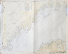
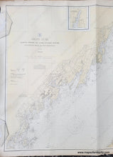
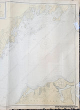
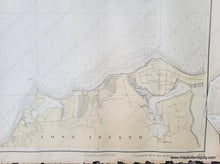
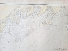
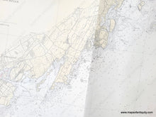
Antique nautical chart showing the northern coast of Long Island Sound from Greenwich Point to New Rochelle, published in 1920 and corrected to 1927. Includes Davenport Neck, Larchmont, Mamaroneck, Rye Neck, Port Chester, Great and Little Captains Islands, and a small part of Long Island with Oak Neck and Lattingtown. Shows roads, railroads, water depths, some topography. Very good antique condition with a vertical fold and some mild wear at the paper edges. Measures approx. 33 x 42 inches to the neatline.
Item Number: NAU414


