1854
Maker: George Eldridge
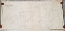
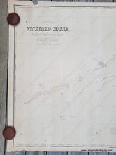
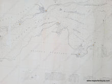
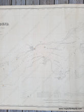
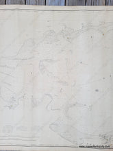
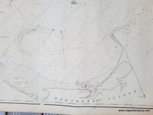
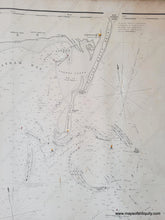
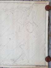
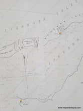
Rare antique blue back chart of Nantucket Sound and Vineyard Sound, published by George Eldridge and Franklin Rogers in 1854. Surveyed by George Eldridge in 1850, 51, 52, 53. This is one of George Eldridge's earliest charts. It includes the Elizabeth Islands, south coast of Cape Cod from Woods Hole to Chatham and Monomoy, the north coast of Nantucket and the north coast of Martha's Vineyard. With water depths, tidal notes, sailing notes, and more. Eldridge distinguished himself among chart makers for his clear and easy to read charts that have a modern, graphic look. He included everything a sailor needed and nothing unnecessary. This chart is in very good condition with only minor signs of its age and use. It has a few spots, some edge wear, minor wrinkles that are common on antique charts from being rolled and unrolled, and some surface loss in the water northeast of Gay Head. Measures approx. 38.5 x 82 inches to the neatline.
Item Number: NAU428


