Item number: NAU486
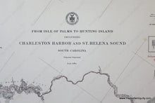
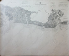
Genuine Antique Nautical Chart
1911
Maker: U.S. Coast and Geodetic Survey
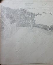
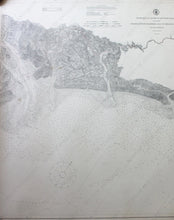
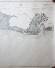
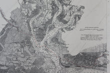
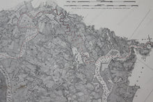
Black and white antique nautical chart, shows the area around Charleston Harbor from Isle of Palms to Hunting Island off the coast of South Carolina with detailed bathymetric data and inland waterways route shown in red. Great condition slight wear on bottom edge, approximately 33" x 40" to the neat lines
Item Number: NAU486


