Item number: NAU523
Genuine Antique Nautical Chart
1950
Maker: U.S. Lake Survey
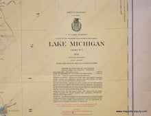
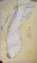
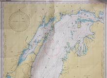
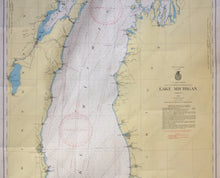
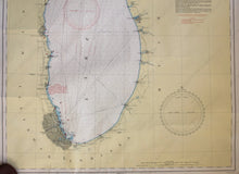
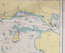
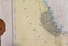
antique nautical chart, shows the area around Lake Michigan from Chicago to the Mackinac Straights with detailed bathymetric data. Good condition, center folds, wrinkles, slight wear to edges, approximately 44" x 26" to the neat lines
Item Number: NAU523


