1883
Maker: U.S. Coast and Geodetic Survey.
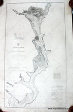
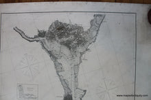
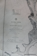
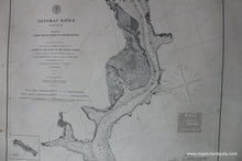
Antique nautical chart of Potomac River in 4 sheets, Sheet no. 4, Indian Head to Georgetown, includes Washington DC, Arlington, Mt. Vernon, and Alexandria, Virginia, Maryland, Georgetown, District of Columbia, Chesapeake Bay, good condition, 38 1/2 x 22 inches. **NOTE- because this map requires extra insurance for shipping, an additional charge will appear on your card after your original purchase. If you would like to know what that charge will be, please contact us.**
Item Number: NAU229


