Genuine Antique Coast Survey Chart
1856
Maker: U.S. Coast Survey.
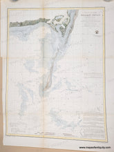
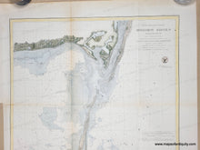
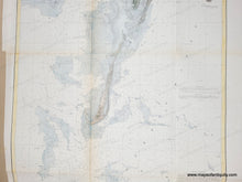
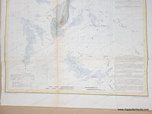
Antique chart of Monomoy Shoals in Chatham, Cape Cod, MA, by Bache, published in the Annual Report of the U.S. Coast Survey from 1856. With great early landform detail of Chatham and Harwich, including buildings at Powder Hole, location of the Inn at Wreck Point, Salt Works at Mill Pond and the Mill Hill Wind Mill. This Cape Cod, Massachusetts Nautical Map shows the massive shoals off Monomoy that turned the Mayflower north toward Plymouth in 1620. It also shows Wychmere Harbor before it was connected to the ocean. Includes topographic details, sailing directions, water depths, tide information, locations of light houses, etc. These charts were produced by the US Coast Survey and the information was then used to create larger nautical charts sold for sailing. Recent hand-coloring. Very good antique condition. Original fold lines are visible and slightly toned. Some tiny spots. Tight margin on lower left. Measures approx. 24"h x 18"w
Genuine Antique Chart from 1856
Item Number: MAS181


