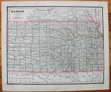
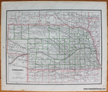
1888
Maker: Peopleâ ‚¬ „¢s Publishing Company.
Antique printed color map of Nebraska with a map of Kansas printed on the other side. Published in The Peopleâ ‚¬ „¢s Illustrated and Descriptive Family Atlas of the World, 1888. Includes towns, cities, counties, railroads, rivers. Very good condition with toning at the paper edges and a few minor spots. Overall sheet measures approx. 11.5 x 13.5 inches.
Item Number: MWE412


