


Item number: NJE204
Genuine Antique Hand Colored Map
1872
Maker: Beers.
Â
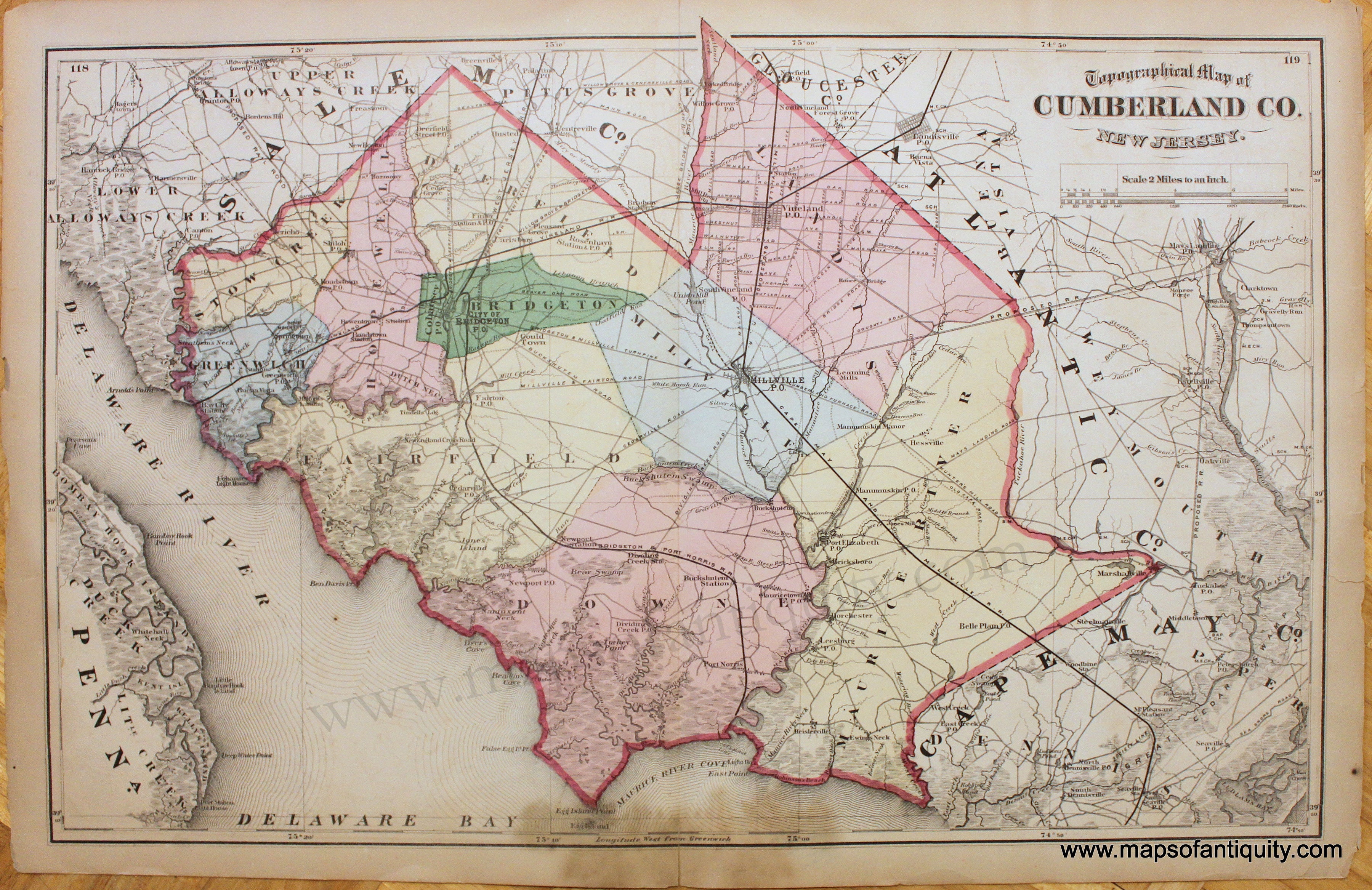
Hand colored Map of Cumberland County, New Jersey, from the State Atlas of New Jersey by F.W. Beers published in 1872. Showing roads, rivers and landmarks, with map of Salem, Vineland, Cape May City, Millville, and Bridgeton showing streets on reverse side, fair condition, with damage at paper edges, some stains, seam separations at top and bottom. Priced as is. Should frame nicely with most imperfections hidden by a mat. Measures approx. 14 1/2"h x 22 1/2"w to the neatline of the Cumberland Co map (verso maps are about half that size).
Â
Item Number: NJE204