1876
Maker: Gray.
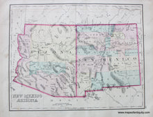
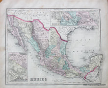
Antique hand colored map of New Mexico and Arizona divided by regions, showing railroads, rivers, towns and mountains, from Gray's Atlas. Verso map of Mexico with two inset maps- Mexico to Vera Cruz and The isthmus of Tehuantepec. Approx. 12" x 15", Good condition with overall surface soiling, a tear in one margin repaired with tape (the tape my not be archival), and light water staining along one edge.
Item Number: WES123


