Current hours: 10am to 5pm Monday through Saturday. Closed on Sundays. IMPORTANT PLEASE NOTE: We have become aware that some of our photos have been stolen by other websites. Our maps are only available at our website www.mapsofantiquity.com or at our store!

Printed-Color-Antique-Map-Texas--Texas--1891-Cram-Maps-Of-Antiquity
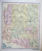
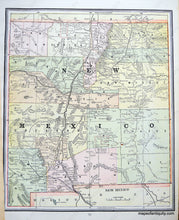
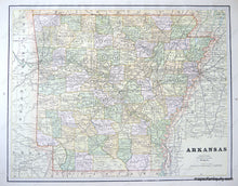
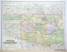
1891 - Texas, with verso maps of Arizona, New Mexico, Arkansas, and Indian Territory (Oklahoma) - Antique Map
  • Load image into Gallery viewer, Printed-Color-Antique-Map-Texas--Texas--1891-Cram-Maps-Of-Antiquity
  • Load image into Gallery viewer, 1891 - Texas, with verso maps of Arizona, New Mexico, Arkansas, and Indian Territory (Oklahoma) - Antique Map
  • Load image into Gallery viewer, 1891 - Texas, with verso maps of Arizona, New Mexico, Arkansas, and Indian Territory (Oklahoma) - Antique Map
  • Load image into Gallery viewer, 1891 - Texas, with verso maps of Arizona, New Mexico, Arkansas, and Indian Territory (Oklahoma) - Antique Map
  • Load image into Gallery viewer, 1891 - Texas, with verso maps of Arizona, New Mexico, Arkansas, and Indian Territory (Oklahoma) - Antique Map

1891 - Texas, with verso maps of Arizona, New Mexico, Arkansas, and Indian Territory (Oklahoma) - Antique Map

Regular price
$150.00
Sale price
$150.00
Regular price
Sold out
Unit price
per 
Shipping calculated at checkout.

Item number: SOU239
Printed Color Genuine Antique Map

1891

Maker: Cram.


Antique printed color map of Texas, from Cram's "Universal Atlas," 1891, divided into western and eastern halves, graphically depicting the relative level of settlement in each half; with townships delineated by color, showing towns, roads and routes, rivers, creeks, water bodies, and notations of fresh water sources; versos display Arizona, New Mexico, Arkansas, and Indian Territory (mostly present-day Oklahoma). Texas is the centerfold of each sheet, with other maps on the back. Very good overall antique condition, each half measures 20 x 13.5 inches.


Item Number: SOU239