Pickup available at 1409 MAIN ST, CHATHAM MA
Usually ready in 24 hours
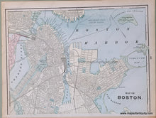
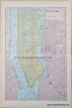
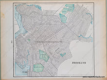
1900 - Map of New York and Vicinity; verso: Brooklyn, Boston - Antique Map
-
1409 MAIN ST, CHATHAM MA
Pickup available, usually ready in 24 hours1409 Main Street
Chatham MA 02633
United States+15089451660
1900
Maker: Cram.
Antique double-sided printed color city plan, by Geo. Cram, from Cram's Universal Atlas, Geographical, Astronomical, and Historical, 1900. Centerfold is a map of New York City, Manhattan with Brooklyn, Long Island City. Back side maps are Brooklyn on one side and Boston on the other side. Very good overall antique condition with toning at edges and some minor stains mostly in margins. Centerfold map measures approx. 18.5 x 12.25 inches. Brooklyn map measures 10 x 11 inches to the neatline. Boston map measures approx. 13.25 x 10 inches
Item Number: TOW665


