1902
Maker: US Geological Survey
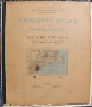
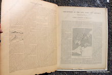
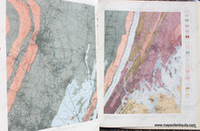
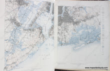
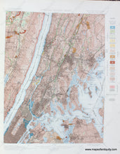
Antique geological atlas of the New York City, Manhattan, Brooklyn, and Westchester area published by the US Geological Survey, 1902. Includes the Patterson, Harlem, Staten Island, and Brooklyn Quadrangles. This atlas begins with a text portion explaining topographic maps, geological maps, and the general geography of the district. The second half of the atlas features maps showing topography, geology, and two "Illustration Sheets" with black and white photo images. Very good antique condition overall with damage at bottom edge and some cover damage. Paper is fragile. Atlas measures approx. 22 x 18.75 inches
Model Number: NYO920


