Pickup available at 1409 MAIN ST, CHATHAM MA
Usually ready in 24 hours
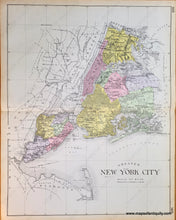
1911 - Greater New York City - Antique Map
-
1409 MAIN ST, CHATHAM MA
Pickup available, usually ready in 24 hours1409 Main Street
Chatham MA 02633
United States+15089451660
1911
Maker: Everts.
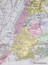
Antique map from the New Century Atlas of Counties of the State of New York, 1911, by Everts Publishing Co., showing NYC highways, railroads, school houses, and elevation; Very good condition with some toning at edges (light in photo makes it appear more orange than it is in real life); size approx. 24 x 30 inches; including Middletown, Richmond, Westfield, Brooklyn, Northfield, Castleton, Flushing, Manhatten, Queens, The Bronx, Jamaica, Long Island City, and Newtown.
Item Number: NYO424


