Item number: REP340
Reproduction
1909
Maker: Reproduction.
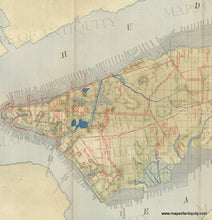
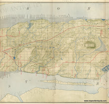
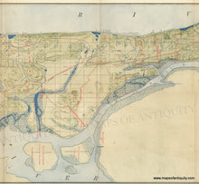
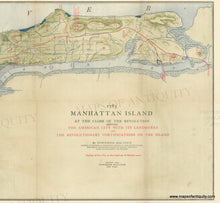
High Quality color reproduction of Townsend Maccoun's 1909 map of Manhattan Island 1783 at the Close of the Revolution Showing the American City with its Landmarks and the Revolutionary Fortifications on the Island. This map shows the evolution of Manhattan, New York City, from its original rural state to the early 1900s, including the areas that were in-filled, the old roads and the modern grid and the surprising amount of Manhattan that was ponds and other water or wetlands. The original map was folded into a book titled "Manhattan Island at the Close of Revolution (1783)" published in 1909. Maccoun was known for his historical geography charts. The original map was scanned using a top quality scanner, the map was not Photoshopped, so the reproduction looks just like the original with folds and minor image transfer. Printed on heavy paper using giclee printing methods. Approx. 16 x 52 inches. Measured to the edges of the printed area. Paper may be larger but can be trimmed as needed. For a framed version, see REP340FRA.
Reproduction
Item Number: REP340


