1890
Maker: Tombleson / Bacon
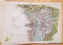
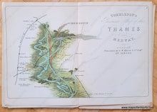
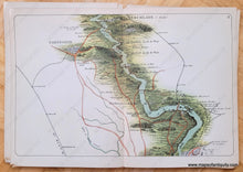
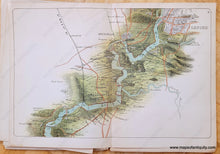
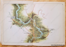
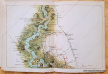
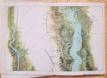
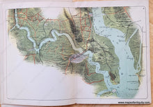
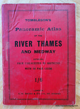
Antique set of eight bird's-eye view maps and a booklet of the River Thames in England, published by G.W. Bacon & Co. in 1890. The full booklet title is Tombleson's Panoramic Atlas of the River Thames and Medway Extending from Cirencester to Southend with 46 page guide from Oxford to Southend. Shows locks, weirs, bridges, ferries, railways and stations, towns, villages, cities, country estates, roads, and topography. Original printed color. The binding on the booklet has given way, such that nearly all the maps are loose and could be framed individually or joined. Booklet pages are also loose. Booklet measures approx. 7.25 x 5.25 inches. Each map measures approx. 6.5 inches by 10 inches to the neatline.
Item Number: EUR3247


