Winter hours: Tuesday - Saturday 10am to 5pm. Close Sundays and Mondays until May. We appreciate your business!

Genuine-Vintage-Map-Surficial-Geology-of-the-Ayer-Quadrangle-Massachusetts-1953-Richard-H-Jahns-US-Geological-Survey-Maps-Of-Antiquity
1953 - Surficial Geology of the Ayer Quadrangle, Massachusetts - Antique Map
  • Load image into Gallery viewer, Genuine-Vintage-Map-Surficial-Geology-of-the-Ayer-Quadrangle-Massachusetts-1953-Richard-H-Jahns-US-Geological-Survey-Maps-Of-Antiquity
  • Load image into Gallery viewer, 1953 - Surficial Geology of the Ayer Quadrangle, Massachusetts - Antique Map
  • Load image into Gallery viewer, 1953 - Surficial Geology of the Ayer Quadrangle, Massachusetts - Antique Map
  • Load image into Gallery viewer, 1953 - Surficial Geology of the Ayer Quadrangle, Massachusetts - Antique Map

1953 - Surficial Geology of the Ayer Quadrangle, Massachusetts - Antique Map

Regular price
$50.00
Sale price
$50.00
Regular price
Sold out
Unit price
per 
Shipping calculated at checkout.

Item number: MAS2436
Genuine Vintage Map

1953

Maker: Richard H. Jahns / US Geological Survey

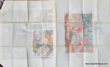
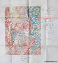
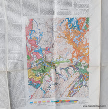
Vintage geologic map of Ayer MA and the nearby area, published in 1953 by the US Geological Survey. With information about the geology mapped in 1941. Includes Fort Devens, Harvard, Littleton, Groton, etc. with roads, railroads, swamps, rivers, ponds, and more. This map comes in an outer jacket and on the left of the page is text describing the geology shown (this could be separated from the map or folded under for framing). Very good condition with folds as issued and a few tiny spots and some wear along the fold lines. Measures approx. 30 x 50 inches to the paper edges.

Item Number: MAS2436