1861
Maker: Smith
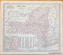
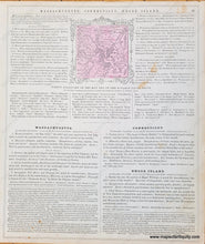
Antique map of New York State from Smith's School Geography, 1861. Inset map of the vicinity of Albany. Table indicates the counties, their abbreviations, capitals, and population as of 1850. Good overall antique condition with toning throughout and some minor staining. Measures approx. 10 x 12 inches to the neatline. Verso has geography questions and small map of Boston (Boston map is approx. 3.75" x 3.75" including decorative border).
Item Number: NYO1158


