Item number: NAU416A
Genuine Antique Nautical Chart
1914
Maker: US Coast and Geodetic Survey
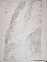
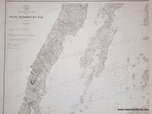
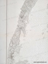
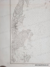
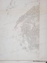
Antique nautical chart showing the western part of Penobscot Bay, ME, published in 1914. Includes Vinal Haven, North Haven, Camden, Rockport, Rockland, and more. Shows roads, railroads, water depths, some topography. This is the western portion of a set of charts of Penobscot Bay, and the chart has a black border line that is absent on the right side because it could be joined to the next chart. Very good antique condition with minor toning, a horizontal fold at the center, some tiny spots/foxing, and mild wear at the paper edges. Measures approx. 39.25 x 24 inches to the neatline.
Genuine Antique Chart from 1914
Item Number: NAU416A


