Pickup available at 1409 MAIN ST, CHATHAM MA
Usually ready in 24 hours
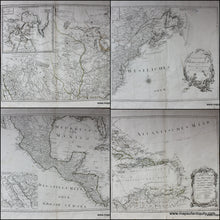
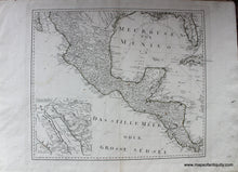
1788 - Generalkarte von Nordamerica: Set of 4 Antique Map Maps of North America - Antique Map
-
1409 MAIN ST, CHATHAM MA
Pickup available, usually ready in 24 hours1409 Main Street
Chatham MA 02633
United States+15089451660
1788
Maker: Schraembl.
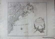
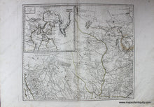
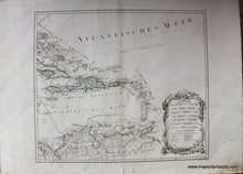
Title: Generalkarte von Nordamerica samt den Westindischen Inseln Versasst von Herrn Pownall Neuherausgegeben von Herrn F.A. Schraembl.
Set of 4 Antique hand colored maps of North America, primarily the Northeast, Great Lakes, Florida over to Texas, by Schraembl, 1788. Interesting features include: East and West Florida, Maine stretching almost to the St Lawrence River, Louisiana territory that continues north past the Great Lakes, the New Kingdom of Leon in Mexico, information relating to the locations of Native American Indians, a very strangely shaped Long Island, and so much more. This map has excellent detail and will bring its owner many contemplative moments studying its wealth of interesting information. Exquisite detail, with ornate, decorated cartouche; all in very good condition with minor spotting and minor seam separation on some sheets. Original color is faded. Each sheet measures approximately 20.75 x 24.25 inches. Priced as a set of 4. **NOTE- because this map requires extra insurance for shipping, an additional charge will appear on your card after your original purchase. If you would like to know what that charge will be, please contact us.** **SPECIAL DISCOUNT! WAS $2900, NOW $1475**net
Item Number: NAM050A


