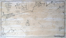
Maker: Reproduction.
Reproduction of George W Eldridge's Chart B showing the coast and waterways from New London CT to Gay Head MA, including Block Island, Montauk Point, Gardiner's Island, Fisher's Island, Little Narragansett Bay, Point Judith, Newport, and Cuttyhunk. This nautical chart gives the water depths, shoals, and distances with 9 compass roses. This is an authentic representation of the original and therefore includes any antique characteristics of the original. Approx. 28 x 50 inches to the edges of the printed image. Measured to the edges of the printed area. Paper may be larger but can be trimmed as needed.
Item Number: REP323


