Winter hours: Tuesday - Saturday 10am to 5pm. Close Sundays and Mondays until May. We appreciate your business!

Reproduction-Antique-Map-Coast-Chart-113-Cuttyhunk-Block-Island-Narragansett-Bay
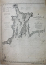
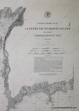
Coast Chart No. 113 Cuttyhunk to Block Island including Narragansett Bay - Reproduction Map
  • Load image into Gallery viewer, Reproduction-Antique-Map-Coast-Chart-113-Cuttyhunk-Block-Island-Narragansett-Bay
  • Load image into Gallery viewer, Coast Chart No. 113 Cuttyhunk to Block Island including Narragansett Bay - Reproduction Map
  • Load image into Gallery viewer, Coast Chart No. 113 Cuttyhunk to Block Island including Narragansett Bay - Reproduction Map
  • Load image into Gallery viewer, Coast Chart No. 113 Cuttyhunk to Block Island including Narragansett Bay - Reproduction Map

Coast Chart No. 113 Cuttyhunk to Block Island including Narragansett Bay - Reproduction Map

Regular price
$150.00
Sale price
$150.00
Regular price
Sold out
Unit price
per 
Shipping calculated at checkout.

Item number: REP419
Reproduction

Maker: Reproduction.

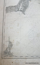
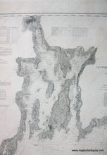
High quality black and white giclee reproduction of the coast chart showing the waters surrounding Narragansett Bay from Cuttyhunk to Block Island. Part of a series of three charts, no. 111, no. 112, and no. 113, which show from Block Island to Monomoy. Includes water depth information and some land information. Has not been touched up or photoshopped, so it includes original imperfections for authenticity. Approx. 42 x 30 inches to edge of image. Measured to the edges of the printed area. Paper may be larger but can be trimmed as needed.

Item Number: REP419