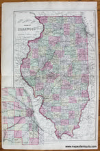
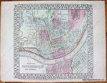
Genuine Antique Hand Colored Map
1884
Maker: Mitchell.
County and Township Map of the State of Illinois with inset map of Chicago and vicinity and a Plan of Cincinnati and Vicinity on reverse. This set of maps comes from Mitchell's New General Atlas, Containing Maps Of The Various Countries Of The World, Plans Of Cities, Etc., 1884. It measures 14 x 22 inches and is in very good antique condition.
Item Number: MWE193


