1880
Maker: Jean-Charles Adolphe Alphand
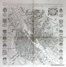
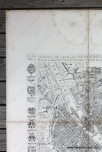
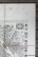
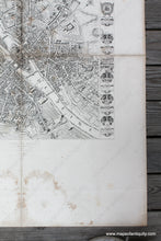
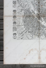
Antique 19th century facsimile of a rare map of Paris from 1654 by Jean Boisseau. This map was published in Histoire Generale de Paris, Atlas des Anciens Plans de Paris, 1880. This atlas was produced as a folio with the maps each folded within the cover and published under the direction of Jean-Charles Adolphe Alphand (1817-1891), a French civil engineer who is known for his work to beautify Paris. He is considered the father of green spaces in Paris. The map clearly shows the city walls and and new districts are emerging inside and outside the walls. The island of Notre-Dame (St Louis) is built. The Ile Louviers is shown- it is a former island in the Seine in the centre of Paris, just upstream of the present Ile Saint-Louis and of a similar size. Never built up, it was connected with the north bank of the river in 1843. In modern Paris the former island lies between the quai Henri IV and the boulevard Morland. This map is printed on four sheets that have been backed on cloth to join. Good antique condition with some foxing and stains, mostly in the margin and some along the folds. Measures approx. 29.25 x 29 inches to the neatline. Paper is much larger but can be trimmed or folded when framing.
Item Number: EUR3089


