c. 1950
Maker: French Ministry of Travel.
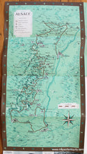
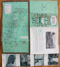
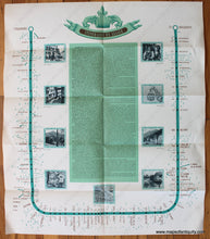
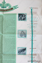
Antique printed color folding tourist map of the Alsace region, France, published by the French Ministry of Travel, in English, lithography by Sofcar, with major points of interest including Strasbourg, Basel, Saverne, Colmar, and more, and a key to major roads, castles, churches, ruins, etc., with decorative border. The map is on a larger sheet that includes text and photos (can be hidden when framed). Verso features a detailed itinerary for the region with distances, towns, optional detours, and photographs of some of the stops, c. 1950. Folded as issued. Good overall antique condition with vivid original color, some wear at the folds, map measures approx. 16.5 x 8.5 inches. Overall sheet dimensions are approx. 20.5 x 17.5 inches unfolded.
Item Number: EUR2569


