Current hours: 10am to 5pm Tuesday through Saturday. We are closed Sundays and Mondays for the Winter. Proud to be a SMALL, LOCAL, CAPE COD BUSINESS! Maps of Antiquity is in its 38th year! Our maps are only available at our website www.mapsofantiquity.com or at our store!

Printed-Color-Antique-Map-Brittany-France-Europe-France-c.-1947-French-Ministry-of-Travel-Maps-Of-Antiquity
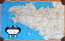
1947 - Brittany France Antique Map Printed-Color Genuine
  • Load image into Gallery viewer, Printed-Color-Antique-Map-Brittany-France-Europe-France-c.-1947-French-Ministry-of-Travel-Maps-Of-Antiquity
  • Load image into Gallery viewer, 1947 - Brittany France Antique Map Printed-Color Genuine
  • Load image into Gallery viewer, 1947 - Brittany France Antique Map Printed-Color Genuine

1947 - Brittany, France - Antique Map

Regular price
$150.00
Sale price
$150.00
Regular price
Sold out
Unit price
per 
Shipping calculated at checkout.
 More payment options

Pickup available at 1409 MAIN ST, CHATHAM MA

Usually ready in 24 hours

Item number: EUR1543
Printed Color Genuine Antique Map

c. 1947

Maker: French Ministry of Travel.

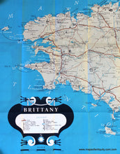
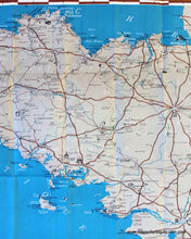
Antique printed color folding tourist map of Brittany, France, published by the French Ministry of Travel, lithography by Sofcar, in English, with major points of interest and a key to monuments, castles, cathedrals, ancient ruins, lighthouses, etc., verso features information on excursions, towns, Megalithic Monuments, Chapels, and more as well as photographs and images of local folk costumes, c. 1947. Very good condition with vivid original color, has some slight wrinkling at center. Measures approx. 20.5 x 32 inches unfolded.

Item Number: EUR1543