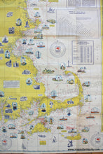
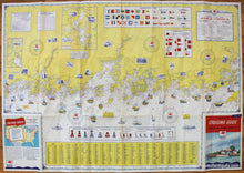
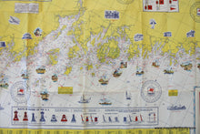
1940s
Maker: Socony-Vacuum Oil / Rand McNally.
Antique pictorial nautical chart produced by Socony-Vacuum Oil Company, Inc. and copyright Rand McNally & Co., c. 1940s. This double-sided folding chart shows the Maine coast from Portland to Eastport on one side, while the other side shows Portland to Block Island with Cape Cod and Boston Harbor. Includes navigational information such as storm signals, bouy meanings, international code, water depths, distances, and lighthouse and lightship locations. With colored illustrations of the lighthouses and lightships and uncolored illustrations of notable buildings and landmarks. Very good condition with folds as issued and some wear and toning along the folds. Measures approx. 33 x 23 inches to the paper edges.
Item Number: NAU374


