1940
Maker: Kenneth E. Morang / Pioneer Valley Association
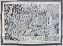
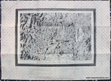
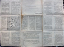
Antique printed color pictorial map of the Pioneer Valley in Massachusetts, by Kenneth E. Morang, 1940 and published by the Pioneer Valley Association as a tourist souvenir. This unusual map is printed in black and white with a faux mat and frame and wallpaper. The note on the map regarding the unusual presentation is "This map is shown as a Currier & Ives print would look on the wall of an old home. The border is a reproduction of old-fashioned wallpaper." On the back is plentiful information about the towns and things to do in the area. Includes the area of Brimfield, Springfield, Holyoke, Northampton, Greenfield, Shelburne Falls, Northfield, and as far west as North Adams. Also shows the Quabbin Reservoir, the Boston and Maine Railroad, the Hoosac Tunnel, the Boston and Albany Railroad, and more. With illustrations of local buildings or other notable features. Very good condition with folds as issued. The paper could be folded when framing to hide the faux frame and wallpaper. Could be hand colored by our professional colorist for an additional cost. Measures approx. 14.5 x 21.5 inches to the edges of the map image and 24.5 x 33.5 inches.
Item Number: MAS2237


