Genuine Antique Printed Color Pictorial Map
1947
Maker: Robert M. Winn.
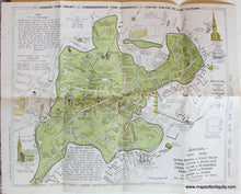
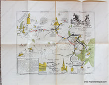
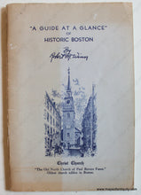
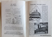
Antique printed color map of the Boston area, drawn by Ivan Chisholm. This map shows the routes of the famous rides to spread the alarm that "the British are coming!" with historical notes along the way. Verso map is Boston from 1630: "Ancient and Modern in Picture and Story" drawn by I.A. Chisholm and arranged an edited by James O. Fagan and copyrighted by Robert M. Winn. This map is full of fascinating history and transposes Boston from 1630 over the outlines of Boston in 1830 and 1930, showing how the city changed over time. These maps came from a book called A "Guide at a Glance" of Historic Boston by Robert M. Winn, copyright 1947. It seems Mr. Winn purchased the rights to these maps after they were created, and this is a later publication of the maps. Book is included with purchase of maps. Very good antique condition with folds as issued, some toning and wear along folds, and a few very minor spots/stains. The Historical Rides map measures approx. 12.5 x 14 inches to the outer border line. The Boston from 1630 map measures approx. 16 x 19.5 inches to the outer border line.
Genuine Map from 1947
Item Number: MAS2054


