Item number: TOW680
Vintage Map
1960
Maker: Augusto Trabacchi
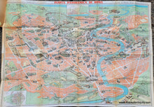
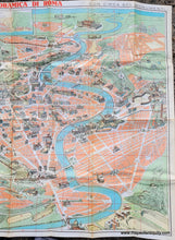
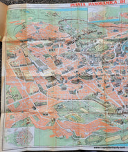
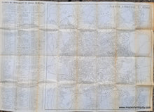
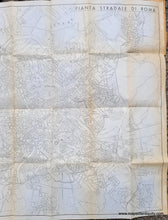
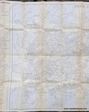
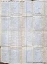
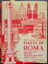
Old map of Rome drawn by Augusto Trabacchi, edited by Mauro Gigli, and published by Panetto & Petrelli, c. 1960. This large and richly detailed map of Rome features illustrated images of about 500 notable monuments throughout the city. Each monument is numbered to correspond with a list on the back, as well as a street map on the back. Includes the Vatican, the Colosseum, panoramic viewpoints, Trevi Fountain, temples, museums, libraries, parks, thermal baths, and much more, each carefully rendered in detail. Inset map in the lower left shows E.U.R. (The business district of EUR -Esposizione Universale Roma- is renowned for its monumental Fascist-era architecture. Exhibitions are staged at the Palazzo dei Congressi, and a handful of museums feature history and art displays. Built in the 1950s, the Palazzo dello Sport concert and sports hall overlooks the fountains of Lake Central Park.) This map was published as a folding tourist booklet and it is still attached to the back cover (front cover is separated but included). The cover is attached in the upper left margin on the front of the map, but can be removed for framing. Overall very good condition with some darker toning in the upper left near Piazza San Lorenzo. Some wear and minor staining along the fold lines. Measures approx. 26.25 x 38 inches to the neatline or 27.5 x 39.25 inches to the paper edges.
Item Number: TOW680


