Winter hours: Tuesday - Saturday 10am to 5pm. Close Sundays and Mondays until May. We appreciate your business!

Antique-Maps-Brockton-Abington-S.-Abington
1879 - Brockton/Abington/S. Abington (MA) - Antique Map
  • Load image into Gallery viewer, Antique-Maps-Brockton-Abington-S.-Abington
  • Load image into Gallery viewer, 1879 - Brockton/Abington/S. Abington (MA) - Antique Map
  • Load image into Gallery viewer, 1879 - Brockton/Abington/S. Abington (MA) - Antique Map

1879 - Brockton/Abington/S. Abington (MA) - Antique Map

Regular price
$125.00
Sale price
$125.00
Regular price
Sold out
Unit price
per 
Shipping calculated at checkout.

Item number: MAS1489
Genuine Antique Hand Colored Map

1879

Maker: Walker.

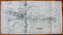
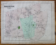
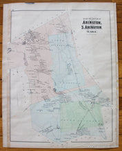
From the Atlas of Plymouth County, MA, 1879, by Walker, showing center of Brockton, including property owners, businesses, named streets, churches, versos display entire Town of Brockton with outlying property owners, Fair & Agricultural Grounds, Factory Village, Clifton Heights, Old Colony Railroad and Townsend Harbor, and Towns of Abington and South Abington, Fair Antique condition, one seam is torn and can be repaired, light overall staining and spotting, creases are delicate and are separating, measures approx. 16 x 31 inches.

Item Number: MAS1489